We may earn money or products from the companies mentioned in this post.
Note: This is part 9 of a continuing series. Up until now, I’ve been making an old post public each time I posted a new installment for Patreon patrons, but the latest post (Part 14) is the final article about the Khezvaros world map. I’ll release one of the remaining installments out into the wild on an unspecified and probably irregular schedule until they’re all outside of the paywall. If you don’t want to wait, become a patron! You can find out more about Khezvaros, The City of Ten Thousand Daggers, at World Anvil.
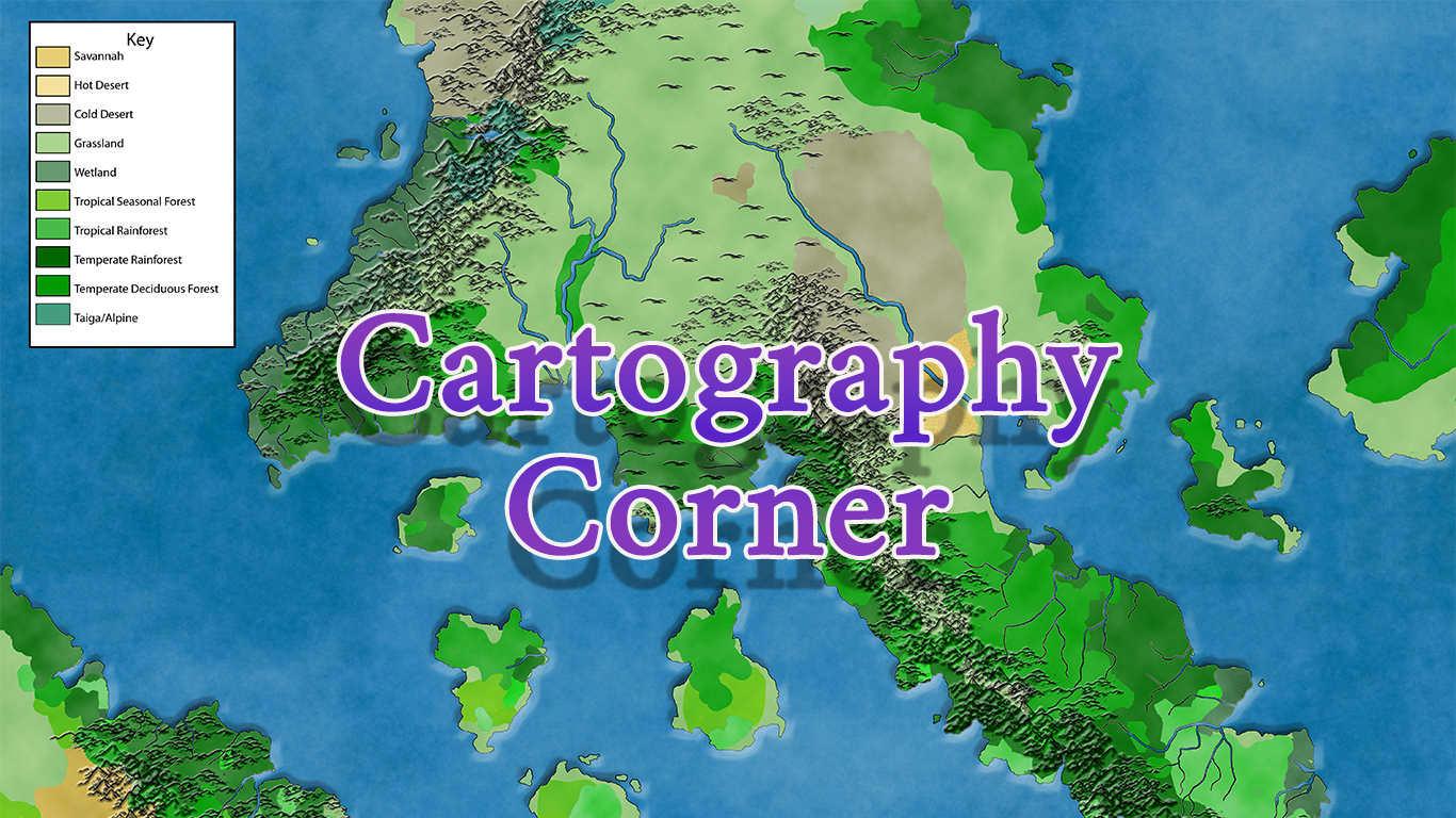
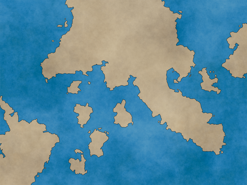
A couple of weeks ago, I got the basic landmasses defined.
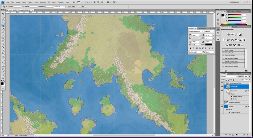
Now it’s time to add some rivers to the mix, so I turn on my template layer and prepare to start tracing.
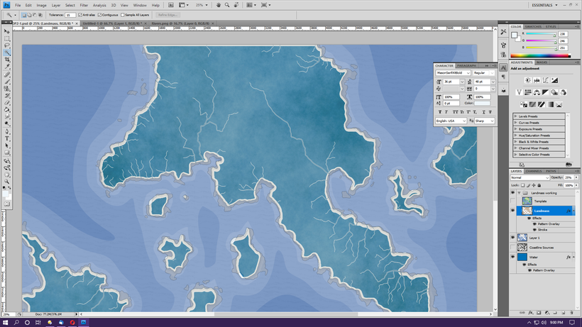
The rivers look nice and visible (especially if I zoom in) on the light-colored areas, but when it gets into the greens the rivers kind of get lost. So I jump back over to Fantasy Map Generator and open my map there. Then I turn off everything except the rivers and save a rivers-only map. I match it up to the existing map and then use the color range tool to get rid of most of the white landmass, leaving me a layer of rivers and continent borders. If I put that below my landmass and then turn the landmass opacity to 25%, the rivers become nice and visible.
To actually draw the rivers, I’ll be using an eraser brush to erase land, revealing the water layer underneath. Normally I’d do this with a mouse, which would be tedious. Since I bought a drawing tablet several months ago expressly for this kind of thing, though, I decide I’ll give it a try and hope it’s less tedious.
But then I have an even better idea. I go back to the rivers-only map and play around with the colors and contrasts until it’s (more or less) a two-color map. Then I select one color and use the “grow” and “expand” options until I’ve got all of my rivers. I invert the section, which allows me to delete all the land.
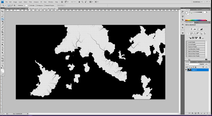
The plan here is to select this layer, them move to my land layer and hit delete, instantly creating the rivers without any tracing. Of course, if I use this file I’ll basically be going back to my original coastlines, undoing all that work. So first I need to erase all the oceans so I’ve just got rivers. I do that, copy the rivers drawing over to my main map and line it up as well as I can. On the river layer, I use the color selection tools to select all the black. Since this isn’t a true black and white drawing, that doesn’t quite get all my river lines, so I use the grow and expand tools again until all the rivers are part of a selection. Then I invert the selection and delete everything outside of it.
On the first round, all the rivers are solid black lines (due to the stroke on the land layer), so I “undo” back a few steps and expand the selection a little until I can at least a little blue shining through the larger rivers. I drop the stroke width down from 5 to 3 as well.

Not a terrible starting point, but there’s a lot of work to be done. Some of the lines are too straight and have too jagged angles, a lot of the rivers stop short of the coastline, and there are a lot of little tiny rivers that don’t add much. Now it’s time to go in and use my erasing, painting, and selection tweaking tools to clean things up and smooth things out. Since this is a world map, a lot of the small rivers will just get painted over.
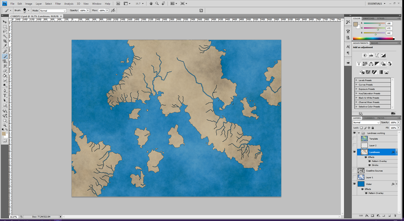
I actually left a lot more than I thought. I’ll probably end up covering up at least some pieces when I start adding mountains and other terrain, but it’ll be easier to delete stuff that’s in the way later than try to add it back in. I made by two big rivers near Khezvaros and the other big river by the imperial capital wider and did a bit of terraforming near Khezvaros to more closely match the city map. Next time I’ll start adding mountains and forests and cities and such.