We may earn money or products from the companies mentioned in this post.
Note: This is part 6 of a continuing series (currently up to 11 entries). I’m making an old post public each time I make a new one for patrons (so when Part 12 goes up, Part 7 will go public). If you don’t want to wait, become a patron! You can find out more about Khezvaros, The City of Ten Thousand Daggers, at World Anvil.
So I’ve rearranged some things on my map in Photoshop some more and input the resulting height map back into Fantasy Map Generator. After adjusting the scale to keep the imperial capital around 1,000 miles from Khezvaros, here’s what I end up with:
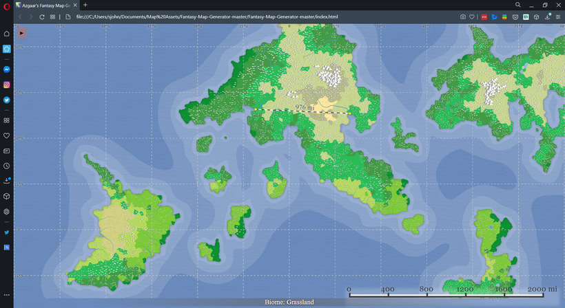
This version is a lot hillier and greener than the previous version, but that’s mainly because of a couple of setting changes. For one, I noticed that the wind directions had been changed from the defaults at some point, so I reset them, resulting in more rain hitting the land. The hills are due to a setting in the units section called “Altitude Exponent.” I don’t really understand how it works, but basically it increases the maximum height of your mountains. I raised it a little bit to allow for taller mountains (though it’s still a little below FMG’s default) and that apparently caused hills to appear all over the place. I’ll probably get rid of some of those.
With all the basic defaults set, I save the map and then go back into the height map editor and start putting some mountains in places where I want coffee to grow. After a while, I’ve got a mountain range in the middle of the island with some prime coffee land:
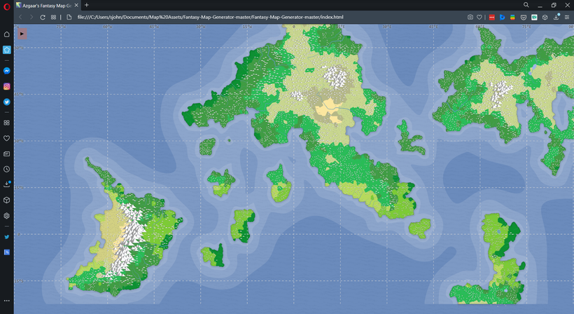
Next I start working on the Peninsula south of the imperial capital, and immediately realize I should have saved my map. Whenever I raise the altitude there, I get the wrong kind of forest. After a while, I try to get everything back to as close as it was, save the map, and try to figure out Plan B. My main problem here is that Coffee Peninsula is too far outside of the equatorial band, so there’s not much tropical forest-ready area in the first place. Raising the altitude lowers the temperature (I assume), turning it into something else. I see two possible options:
1. Try adding some mountains to the landmass sticking up from the south of the map, since it’s right on the equator.
2. Connect the mainland to the island to give myself more tropical real estate to play with.
I don’t really care for option #1. The main thing we know about the coffee lands to the south is that they were an early conquest for the empire, so I feel like they need to be on the same continent. The empire isn’t really a strong enough naval power to be colonizing other continents in the present (they only established trade routes with coffee island), so they definitely wouldn’t have been able to pull off an overseas invasion 1500+ years ago. I’m going to see how option #2 works.
Once again, I decide to run a mountain range down the peninsula that connects to the small clump of mountains in the center of the continent.
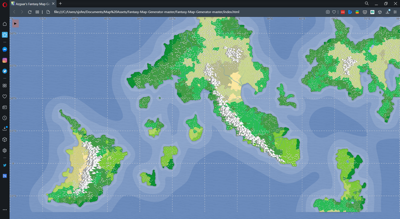
Even though there are only a few hill icons, most of the tropical rainforest here is at a high enough altitude for coffee. Some of it is just above 600′ feet, so a lot of it’s bad coffee, with only a tiny area at the southern tip of the peninsula that’s high enough for Arabica. All the more reason to open trade with coffee island.
Adding the mountains and hills also made the imperial capital drier and made the river that runs to it mightier, both of which fit better with what I’m imagining, so that’s a happy accident. Now I need to move over toward Khezvaros and try to turn some hills and forests into plains.
When I flatten out the area where the plains need to be, I get even more woods:
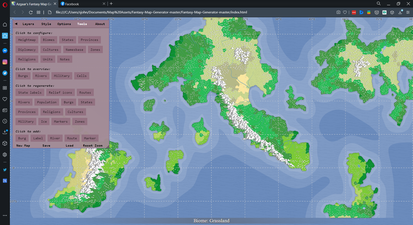
After quite a bit of experimenting, I figure out two ways to make the area around Khezvaros less lushly forested. The first is to raise some mountains along the coast to block some of the rain coming in from the west. The second is to thicken up the continent so any rain that gets over the mountains fizzles out before it hits the plains. After a while, I get basically what I’ve been looking for:
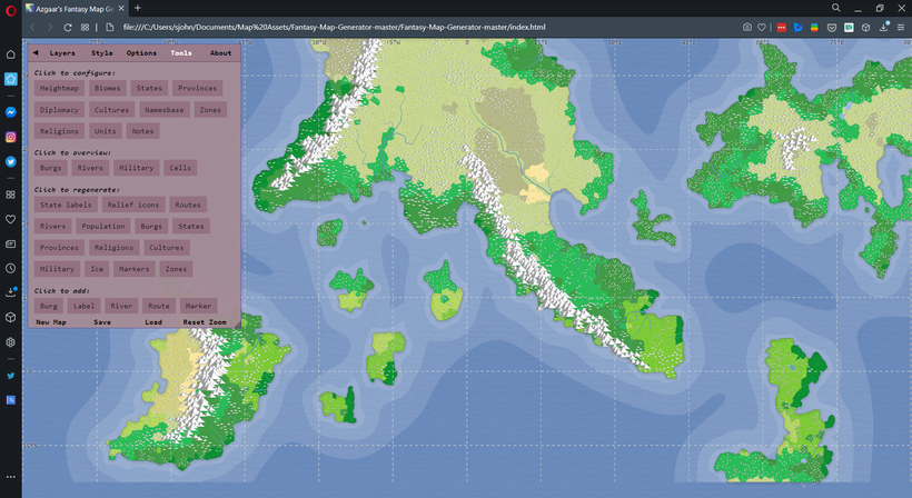
Playing around with the elevations to create low ground in the right spots even gave me a river configuration that comes close to matching the city map I created a while ago. Here’s a zoom in on the area where Khezvaros will be:

And for reference, here’s the Khezvaros city map:

Not exact, but close enough to write it off as a relatively minor error by the mapmaker. Now, considering that this map is purely for background (remember the game is set in the city), a sane person would file this map away and call it done. But part of the reason I started this whole thing was to try making a world map (and try out the cartographic brushes for Photoshop I bought several months ago), so next time I’m going to jump back over to Photoshop and use this as my starting point to make the real map.

